
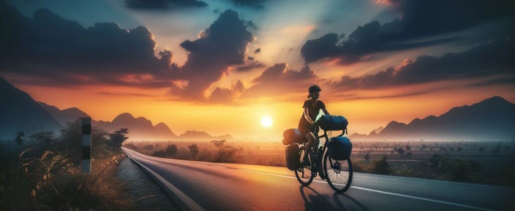
Route planning serves as the first step of a bikepacking journey. By analyzing terrain maps, riders select the correct bicycle and plan their daily mileage. Different ground surfaces affect travel speeds, meaning pavement allows fast riding whereas gravel slows the pace and singletrack demands focus. Through altitude charts, cyclists outline climbing and descending challenges.
Managing food and water supports self-sufficiency on the road. To prepare, riders locate towns, campgrounds, and natural water sources on maps. By using a hydration bladder in a frame bag or mounting bottles on forks, they carry extra water. Before drinking natural water, cyclists clean it with a filter or purifier. On the trail, they eat lightweight, high-calorie nuts, dried fruits, energy bars, and grains.
Route details vary from busy cities to remote wilderness locations. In urban areas, cycle lanes, cycle-friendly roads, and navigation apps like OsmAnd guide riders. When traveling through remote locations without any nearby services, cyclists face unpaved roads and must maintain full self-reliance at all times. With careful route sharing, satellite messengers, and backup paper maps, riders protect themselves in remote areas.
Proper protection on public roads depends on visibility. By using front and rear flashing lights, cyclists make themselves seen. To increase visibility during the day, they wear colorful clothing when sharing lanes with cars. While riding predictably reduces road risks, following traffic laws and staying aware of nearby cars remains crucial.